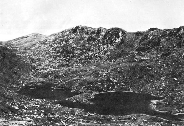
Lake Albina (SMA)
During its long history, the rocks forming the mountains have been subjected several times to very intense stresses caused by tremendous forces operating deep in the earth’s crust. In places, the stresses have exceeded the strength of the rocks which have broken and been displaced along large fracture planes called faults. Some of these faults extend for tens of kilometres. Movement of one block of rock against another has caused shearing and crushing of the rock in zones varying in width from less than a millimetre to hundreds of metres.
During the processes of weathering the weakened rock tends to be decomposed and broken down to soil more readily than the sound rock. Running water erodes the weakened rock and soil more easily than sound rock, and so it is that streams tend to follow these faults.
The faults themselves are rarely seen exposed at the surface, either because they are blanketed with residual soil or are in the stream bed concealed by gravel and boulders.
However, the presence of faults in the rocks of the mountains can often be deduced from the pattern of the streams on topographic maps, and particularly on photographs taken from high in the air.
A most striking example is the Crackenback River, which follows a straight north-easterly course for more than 30 kilometres through granite. There are many other major and minor streams with this general direction, including the Upper Snowy River, the Geehi River and Bogong Creek.
There are also many other streams which are almost at right angles to this direction, such as the nearly parallel streams, Burrungubugge River, Munyang River, Guthega River and Farm Creek. A study of a good topographic map will indicate many other examples of streams following the major fracture pattern in the bed-rock of the mountains.
The mountain mass of the Snowy Mountains is the result of the action of forces in the earth’s crust which, during the Tertiary Era, raised it above the surrounding regions to its present elevation. Previously it had been reduced by prolonged erosion almost to a plain with few prominences rising above the general level.
This ancestral plain can still be recognised in the generally level skyline which characterises the Mountains when viewed from many vantage points. In form, the Snowy Mountains are essentially a plateau with few peaks but many deep valleys,
D. G. MOYE
